
St. Louis is a racist town. Historically and culturally, it is a part of our heritage. Our built environment provides visual proof of this racism. The only thing surprising about the resentful segregation that has boiled over and blown up in Ferguson, Missouri in August 2014 is that it took this long to do so.
The Ferguson police killing of Michael Brown is inexcusable and heartbreaking. This piece is inspired by my sorrow over Michael Brown’s tragic fate, and the intense feelings conjured while watching the aftermath unfold on the familiar streets of what was once my home and to those it belongs to now.
Because it’s what I do, half this piece deals with the topic through photos of our buildings. This architecture tells the story of St. Louis’ northern expansion from urban to suburban, from white to black. It illustrates St. Louis’ White Flight as it traveled north up West Florissant from Highway 70 to New Halls Ferry, with a stop in Ferguson. Sharing our story through buildings is the best way I know how to process all the disturbing feelings I can’t shake in the wake of Michael Brown’s violent and unfair departure.
A WHITE LADY’S CREDENTIALS
I have spent a decade plus documenting the St. Louis built environment in photos and words through this blog. I am a North County (NoCo) native, born and raised in
Jennings – 14 Yr. Old Boy Murdered on Meadowlark
Ferguson – Personal Architecture: 509 Teston in Ferguson, MO
Black Jack – Tear Down Jamestown Mall
before landing in South St. Louis City in 1993.
Over half of my posts about NoCo brings up St. Louis’ history of White Flight, gently touching on our racism because it’s unavoidable. But it needs to stop being treated as a poorly hidden secret. I no longer wish to be politely genteel about how our racism is determined to destroy North St. Louis County the same way it did North St. Louis City.
My immediate and extended family is a classic example of North Siders following the trail up West Florissant to North County, and eventually leaving it completely when it got “too Black.” My family is just a few of the hundreds of thousands of other NoCo Whites who have done exactly the same. I’ve seen why and how it plays it out.

I love and explore all of St. Louis and spend a lot of time in North County, documenting its history as told through buildings and places. I manufacture any excuse to visit and hang out because I genuinely love North County more today than when I lived there. It feels good; it feels like home, because it is.

But where I differ from so many of my White brethren is that I do not resent the Black majority that are now the rightful citizens of NoCo. It is their home the same as it was once mine. They live, love and work there the same as we once did, but with one glaring exception: they have to deal with and work around the systemic and lingering resentment of Whites who willingly fled the area because of them. And that’s a White Problem the NoCo Blacks have had to deal with… until they just couldn’t anymore.

CREATING ST. LOUIS RACISM
St. Louis has always been a schizophrenic city. It’s the last of the old Eastern cities, and the Gateway to the younger West. That informs its Conservative vs. Progressive spirit. The Civil War Mason-Dixon Line ran right through it, and it’s been a struggle of North vs. South mentality ever since.
The national dominance that the City of St. Louis experienced from post-Civil War to post-Korean War was partially based on the population increase of Blacks from the South. And while it was, by constitutional law, safe for Blacks to come here, powerful White factions have always made sure the new arrivals were segregated into the City’s North Side.

While White St. Louis has enthusiastically embraced Black St. Louis culture – from music (milestone home of jazz, ragtime, blues and rock & roll) to food (BBQ and soul food are indigenous cuisine) – they made sure Blacks lived in a contained manner.
Before and after the Civil Rights movement, the real estate Red Lining of the 20th century (expertly detailed in the book Mapping Decline) remains a troubling problem barely disguised as predatory lending in the 21st century. While every race and income level has been injured by the housing bubble burst of 2008, in St. Louis the massive foreclosures are most dramatic in the predominantly Black towns of North St. Louis County. It’s Red Lining re-branded for the 21st century.


CREATING NORTH COUNTY
After World War 2, the Baby Boom created a need for more housing for everyone. With the help of President Eisenhower’s new highways and G.I. loans, people left St. Louis City in all directions for the largely rural County. To the North, West Florissant Avenue became a main corridor to fresh new homes and schools, so commerce built up along it to serve the fast influx of new residents.

St. Louis families of all races and income levels can trace their rising fortunes by how they leap frogged from one municipality to the next, ever-further away from the City lines. The huge exodus from the City over a 20 year span left the City to rot. This fact earned its own chapter in the 1999 book The Old Neighborhood: What We Lost in the Great Suburban Migration 1966-1999 by Ray Suarez.

Because the City’s North Side had historically (and uneasily) accepted more Blacks, the migration to North County had more of a salt and pepper flavor than to the west or south. In private, North Side Whites acknowledged the additional motivation of leaving City blocks that got one more black family than they were comfortable living with. And that mentality remained as Whites and Blacks wrote the living history of North St. Louis County in the last half of the 20th century.


NOT LIKING WHAT WE SEE IN THE MIRROR
St. Louis County is a star pupil in the Suburbanization of Poverty. Here are some informative pieces with great historical reporting that detail how Ferguson got to this point:
In Ferguson, Black Town White Power
The County Map That Explains Ferguson’s Tragic Discord

St. Louis is an old industrial city that carried its archaic North vs. South mentality to the new suburbs, clinging to a stark segregation in North County. In the wake of Michael Brown’s death, we are bickering amongst ourselves about how racist we are or aren’t while the global community has learned exactly how racist we are and shakes its head in disbelief.

National reporters puzzled over the statistics and anecdotes about how oblivious a large percentage of St. Louis Whites are about our race problems. Veteran reporter Charles Jaco got to the heart of it in two Twitter posts on August 18, 2014:
“Despite the global focus, most white people in St. Louis this is just Ferguson, willfully blind to race and class issues that cause seething anger. In 19 yrs, discovered white people in StL are kind, considerate and oblivious to racial issues. Like StL BBQ sauce, they’re sweet but thick.”

Because we have a history of racially insulating our neighborhoods, it’s very easy for White St. Louisans to be completely unaware that Different Rules Apply. Speaking only from my experiences, native White St. Louisans who are not instinctively racist tend to be those who have traveled and/or lived outside of the region and have experienced places where you can palpably feel the ABSENCE of racial tension. It’s always an eye opener. The lesson learned from it is that it’s easier to accept all people as they are rather than how you want them to be.


There’s one trait that most every visitor notices about St. Louis (aside from how clean we are!): we are extremely nice people. We are inherently nice to each other, face to face, no matter the color or culture. But how we develop our towns, evolve our governments and speak in private conveys that White St. Louis has a long-standing problem with Black St. Louis.
This behavior grows more absurd as the world becomes more global and integrated via the internet and social medias that easily recognizes oppressive behavior even when we can’t see it ourselves. People around the globe quickly understood the gravity of #Ferguson and the importance of people standing up against abusive authority. The inequity was easy to understand outside of a large chunk of White St. Louis.

RESENTMENT OF BLACK NORTH COUNTY
White Flight is well-documented American process, and a motivating factor in creating St. Louis County. For a lot of White St. Louis, it’s a part of the stories of why your family moved to such and such, and why we live where we do. We talk freely – or in code – about it amongst ourselves, and instinctively seem to know when to not talk about it. And that right there reveals that we do know better but can’t let go of deeply ingrained prejudice.s

Several generations of St. Louis Whites are vocally resentful of having to “give up” North St. Louis and North County to the Blacks. They reveal deep resentment with the language used to describe what has become of the places they left behind.
Part of the White resentment might be because NoCo is such an engaging area of Metro St. Louis. See the Cruizin’ North County books for reasons why it’s such a deeply loved place. Leaving behind something you love is always bittersweet. If that feeling is coupled with a fear-based decision to move away, it can create contempt for those who took your place.

Do the White ex-pats want it back? Is that why there’s so much White anger toward NoCo Blacks? Because if you want it back, that might make some sense out of the blatant contempt for those who live there now. It doesn’t excuse it; it only provides a psychological understanding of the negative behavior.

NoCo remains a lovely place. This is what I strive to show on B.E.L.T. over the years (do a fast scroll through this category).
I’ve had countless conversations with former NoCo Whites who swear it’s all gone downhill and just looks bad. Granted, NoCo is an aging area; after 50+ years, everything gets raggedy around the edges. One of the reasons people originally fled St. Louis City is because it was old and worn out, and Urban Renewal bulldozed huge chunks of what they deemed irretrievable eyesores. It took new generations to see the beauty under the grime and exchange demolition for restoration. This is a natural evolution of cities, and renewal will eventually have to come to our Inner Ring suburbs. Just give it time.

Even when I get ex-NoCo whites to begrudgingly admit that their old neighborhood or house still look pretty good, they genuinely believe the rest of it has gone to shit. I believe they’re looking at it through puce-colored glasses.
Even as I choose to see through rose-colored glasses, I’m not blind to how poverty has ravaged many North County municipalities. Look at the corpses of Kinloch or Wellston to see the ways racism works through legal and illegal channels to exact revenge on those it fears.


As I’ve spent 10+ years photographing my NoCo homeland, looking at it through the detached lenses of architecture, remodeling, planning and sustainability, I think it’s beautiful. I see past glory, present strengths and future possibility.


As I traipse around all of St. Louis with a camera, I’ve been told that police would be called if I didn’t leave, or stared at harshly through screen doors, or glared at with side eye. This is always – without exception – in White parts of town. They ask no questions, they show only anger and distrust toward a White stranger.


Contrast that with when I go North. Someone will always walk up and ask what I’m doing – as anyone should, really – and I explain. I have countless conversations with Black residents about what and why I do. They get the sentimental angle if it’s where I’m from, and they are usually intrigued by the architectural angle: “So you like this building? Why?”

Most any architecture geek longs for that question, and a chance to exchange information. All of us long to know the worth of where we came from and where we live now, and it feels good to know it matters. Each of us is concerned about our little piece of the world we live in, and want to be comfortable in it.

The stress of being constantly harassed in your world builds tension. Tension has to be released. NoCo is the logical combustion chamber, because it’s where the 21st century population vs. its government and law enforcement statistics reveal continual oppression by minority Whites over majority Blacks.

FERGUSON HAS THE STRENGTH TO CHANGE THE TIDE
When the police continually harass only certain residents who pay taxes, start businesses, spend money at those businesses and keep the town going, those people will eventually rebel. Anyone who’s picked on can only take it for so long.

The Civil War ended in 1865, but the war of White over Black never did. America repeatedly goes to the legal mat to try and resolve this conflict, but Whites find new loopholes to continue blocking Blacks, with ever diminishing benefits. It’s embarrassing for a modern, post-Civil War society to continue parroting an archaic cultural prejudice that existed before we had electricity in our homes. And it’s disgraceful to willfully set up your fellow man to fail, be it Wall Street sharks or racial profiling.

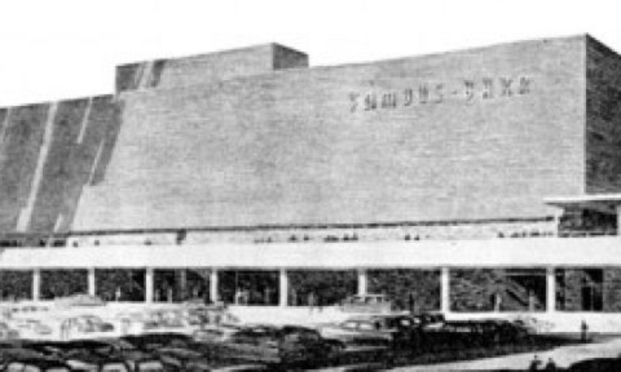
The August 2014 murder of Michael Brown a block east of West Florissant was, finally, the wrong place at the wrong time. The 2-block stretch of West Florissant that has become intimately familiar as the background of Hands Up Don’t Shoot remains as essential today as when it was developed in the late 1950s. The businesses have changed repeatedly over the decades, but its vitality is only slightly diminished.

This short stretch of West Florissant Avenue remains an important revenue generator in Ferguson economics. That the businesses physically devastated by the upheaval want to rebuild and remain is a testament to that. Money talks, of course, but so does their patrons immediately coming to help clean up after looting. That’s the kind of community you want your business in.

Ferguson has spent the last 10 years reimagining and rebuilding itself for the way we realistically live in the 21st century. This town has become strong enough to push back at decay that knocks at its boundary lines.

Because all around Ferguson, once-White towns have been left to rot. It’s a precisely repeating pattern from St. Louis City in the 1950s to this very day. You can see the physical downfall of dozens of towns as the race population switches from majority-White to majority-Black. The easy, drive-by response of White St. Louis is to say Blacks just don’t care of their homes, their communities. But you cannot realistically blame things like bad roadways and decomposing sewer lines on the skin color of the people who live there. These are infrastructure issues handled by the local governments that collect their tax dollars.

When, for example, the Jennings, MO street department simply stops repaving its residential streets, it’s clear that the money they’ve collected is not going toward maintaining the roads. Nor is that money going toward maintaining a police department (disbanded in 2011) or a fire department (dissolving January 2015) or bolstering its public school system. This a much bigger problem than which neighbor is not mowing their lawn or patching their roof – it’s about the town you live in falling apart around you.

The cause of this repeating pattern is touched on in, again, that book The Old Neighborhood: What We Lost in the Great Suburban Migration 1966-1999 by Ray Suarez. Wherein St. Louis criminologist Rick Rosenfeld says:

“What I don’t like about mobility in the United States out of cities into suburbs, and now increasingly from inner suburbs into outer suburbs, is the throwaway attitude that goes along with it. That once you move from a community, the larger metropolitan area or the larger community has no responsibility or not much for what got left behind there. What they leave behind is much worse without them. The tragedy of mobility here is not that people leave the city of St. Louis: it’s that so few resources go into the communities left behind to make them attractive to the families that are one or two cars down the line, who themselves might want to move into that neighborhood. I don’t think mobility is the issue. It’s our unwillingness to do anything about the tragic conditions that occur once people leave.”

The curious part is that St. Louis City is in tangible turn-around from the urban decay. The City is becoming a more desirable place to live than its bordering North County townships, where the scorched earth policies are repeating despite decades of lessons on how not to do it. In a nutshell: Don’t let the Whites who abandoned it continue to control it, because history shows they will run it into the ground. Those who actually live there need to steer policy and set the new rules.

And here’s where Ferguson matters. It has made tangible progress in keeping North County scorched earth creeping crud at bay. The citizens of Ferguson get this, and are the ones investing in new growth. But 6 – 11 shots later, everyone learns that the Ferguson police and government appear to be focused only on the racial aspects of the city, putting their energies into an imbalance that ignores Missouri law and several Constitutional amendments. It’s a myopic view dangerously at odds with its residents, and has caused real harm.

America has a long history of not tolerating those that tread upon them, and as of August 2014, Ferguson, Missouri has upheld that tradition. Because this town has pushed back against the usual markers of built environment and economic decay, it also has the strength to push back against authority that seeks to undermine it.

Ferguson has become a line in the sand of not allowing the same old destructive policies to take their city down. It’s a decisive moment where the new majority can take control and protect what’s good about their town. The energy that refuses to let Michael Brown’s death become another statistic has already strengthened Ferguson. There’s also a sense that Ferguson can teach us to be a more civilized and powerful St. Louis – City AND County, together. It’s one of the reasons these signs are all over Metro St. Louis.


